Projects Hub
OMEGA
A floating network of low-cost sensors that watches the ocean and streams it to a live 3D globe. Every reading is cryptographically signed so it can't be faked — and it tracks NOAA's official buoys to within a hair (r ≈ 0.97). Cheap, off-the-shelf hardware; government-grade data.
EvaluationBETA Framework
A Python dashboard that tracks how far along each part of the OMEGA project is.
Wear OS / AudioCosNFX
A standalone Wear OS app that fires motion-triggered hero SFX from your wrist — it detects specific wrist gestures (which you can calibrate yourself), offers swappable themed profiles, and can control external props like lights.
Hardware · In DevelopmentCosNFX Choreographer
Modular wireless display props for costumes — bright round AMOLED screens that discover each other and stay millisecond-synced over ESP-NOW. The key call: send the cues, not the video (each screen stores its own media, so the show runs even if the phone dies). A phone app choreographs a timeline that compiles to an on-device show and autoplays on boot.
Hardware · ShippingPlanetaria
A desktop digital twin of Earth — a giftable ESP32-S3 desk globe on a 1.75-inch round AMOLED: live NASA VIIRS clouds, a real day/night terminator, and Black Marble city lights; ten selectable worlds and a time + weather card every 30 minutes. One board, no app, no accounts, no API keys. Now shipping through the CosNFX store.
Hardware · Coming SoonLunaria
The actual Moon, tonight. Planetaria's Moon-focused sibling on the same ESP32-S3 round AMOLED: it computes the real lunar phase on-device (checked against NASA's ephemeris to 0.05°), plus the Moon's monthly wobble, earthshine on the dark limb, and the disc "breathing" as its distance changes. No app, no cloud. Coming soon.
Utility AppPast Time
An ESP32-S3 e-paper countdown timer with 101 hand-built animated story-scene faces (a kite climbing, a boss fight, a wrecking ball) — each scene IS the clock, hitting its climax exactly at zero; 61 faces have a bespoke time's-up finale, and and every face was quality-checked before release.
Full-Stack · LiveSlime in the Coconut
A squishy & slime storefront that fulfills its own dropship orders (Node + Stripe, server-authoritative pricing) — wrapped in playful features: a "Goo Crew" of character mascots and a Squish Battle card game where every product's stats are generated from its ID. Live at slimeinthecoconut.com.
Wear OS AppT-Thruster
A tactical Wear OS application for differential hardware control, utilizing UDP Multicast and Jetpack Compose kinematics.
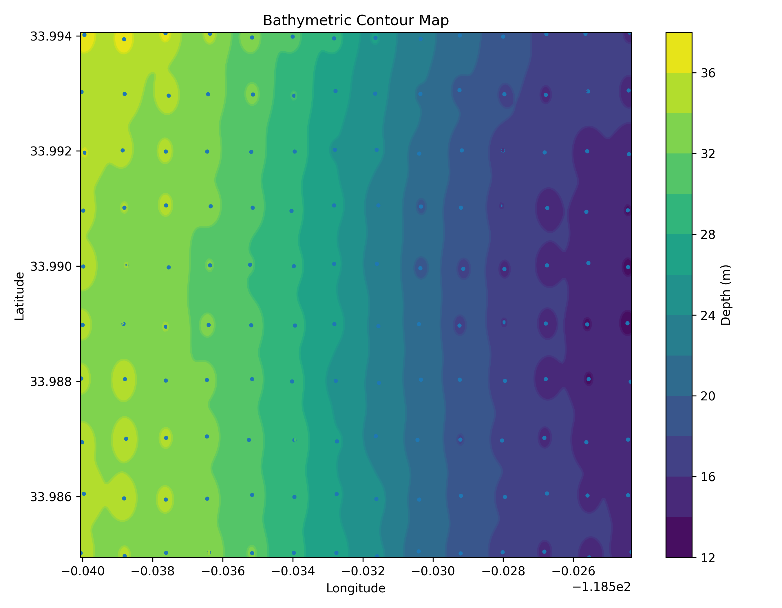
LegacyOMEGA-bath
A legacy Arduino Mega platform for generating high-resolution depth maps.
Honest Evaluation & Readiness.
Absolute Data Purity
The live map shows only real, deployed hardware. Synthetic data and forecasts are treated as overlays, never ground-truth. The simulation code keeps the synthetic records it generates out of the real dataset.
Automated Site Health Check
An automated check that loads the live site's key pages and confirms the map and data overlays still render — a cheap early warning if a change breaks the site.
Ocean Sensors.
Turns raw underwater depth readings into seafloor maps you can view on the web or in Google Earth. Bridging the gap between raw physical oceanography and modern web mapping interfaces.